-
Bridge view
For navigators and pitches: ship status, instructions, the ten checks and a live map. Pick a scenario (jamming, spoofing, receiver failure) and a correction method, then press Play.
-
Teaching website
How it works: signal inspector, check cards, playbooks with sources, maps, a briefing and the derivations behind every number.
How a problem is diagnosed
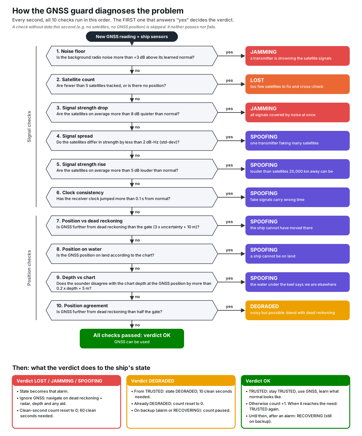
Every second the checks run in this order; the first that answers “yes” decides:
- Noise floor: background radio noise far above normal → JAMMING
- Satellite count: too few satellites or no position → LOST
- Signal strength drop: all satellites much quieter → JAMMING
- Signal spread: satellites all equally strong → SPOOFING
- Signal strength rise: satellites louder than possible → SPOOFING
- Clock consistency: receiver clock jumped → SPOOFING
- Position vs dead reckoning: the ship cannot have moved there → SPOOFING
- Position on water: GNSS position on land → SPOOFING
- Depth vs chart: sounder disagrees with the chart → SPOOFING
- Position agreement: noisy but possible → DEGRADED (blend with dead reckoning)
All checks pass → GNSS is trusted.